Using clouds to predict weather | a paddler's guide
There is a lot to know about reading clouds and predicting weather, but for the layman (laypaddler?) a little knowledge can go a long way to keeping you safe and comfortable on the water.
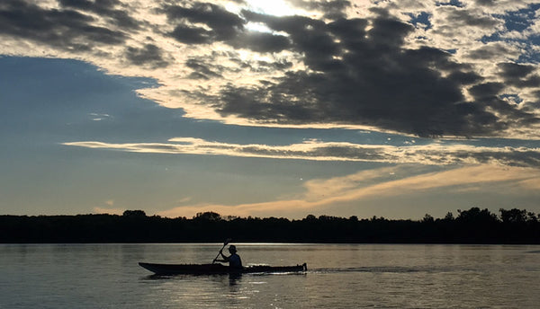
Very simply, weather is created by areas of high and low pressure (depressions) moving across the surface of the globe. These generally move in a west to east direction and bring unsettled weather, often in the form of wind and rain.
Clouds are categorized by altitude, which is important because it indicates how long until the weather changes. High-level clouds (cirrus) predict weather changes about a day away. Mid-level clouds (alto) often indicate impending rain. Low-level clouds may be in the form of fog (at ground level), low puffy clouds, or low overcast sky.
There are three basic types of clouds a paddler should watch for:
- cumulus - puffies
- stratus - flat, uniform cloud
- nimbus - heavy, grey rainclouds
What indicates fair weather?
Fluffy white cumulus clouds usually indicate fair weather. You know the ones: bright white puffballs. These are created from updrafts from the land, which heats more quickly than a water body.
Often there is a daily cycle to these cloud formations: calm and clear in the morning, then small cumulus start to build with a breeze by mid-morning. By early afternoon the puffies are at their largest. Late afternoon they start to break apart and diminish, and after sunset the wind dies and the sky clears.
As long as the clouds don't start building significantly in height or getting heavy and grey, cumulus are a good sign.

Cirrus clouds mean weather is good for another day or so, then changes will be coming. They are the highest level clouds and move slowly, often looking like wisps and "mares tails" high up.
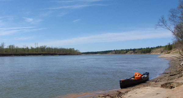
What indicates impending rain?
It's common to see rows of little cloudlets in a big sheet, this is called a "mackerel sky" but the official term is cirrocumulus or altocumulus, depending on the altitude. If you can see clear sky between the cloudlets the weather should stay fair for the day but may change within 24 hours, bringing wind and possible rain.
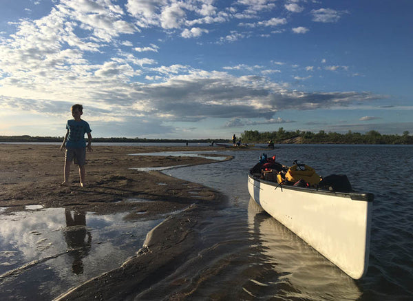
If you notice cirrus clouds beginning to get thicker and lower, this means a change is definitely coming within 12 hours and will likely bring wind and rain.
When anticipating changing weather, watch for a lowering cloud base. A mackerel sky can start to look more uniform as it sinks and forms more of a stratus cloud. Clouds starting to turn grey are an indicator they are getting heavier and more likely to release moisture.
Sometimes you'll see the layer of high cloud but notice darker grey mid-level clouds underneath, moving more quickly. These often forecast wind and/or rain and the faster they are moving, the quicker the weather will change.

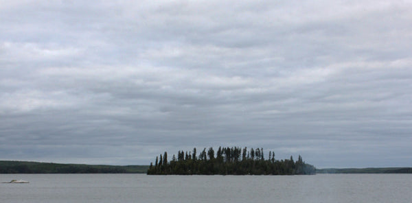
In the photo below the cloud layer has progressively thickened and lowered into a nimbostratus cloud layer, and if you were on that northern lake you would "feel rain in the air". Sometimes you get "mammatus" clouds, which look like pouches hanging beneath the cloud base. These usually mean rain is imminent.
How do you know a storm is coming?
Watch for vertical growth of clouds. Actual storms move in circular, counter-clockwise patterns but thunderstorms evolve as a vertical circulation of air. If you see the recognizable anvil shape (cumulonimbus) taking form, be wary. Watch the cloud. The sharper the edge or darker it gets, the more violent the storm. If you see lightning, count the seconds until you hear thunder. Three seconds roughly corresponds to a km of distance.
If the storm passes overhead make sure you're off the water. You will feel a temperature decrease and the wind will diminish. Thunderstorms are usually over within 30 minutes.
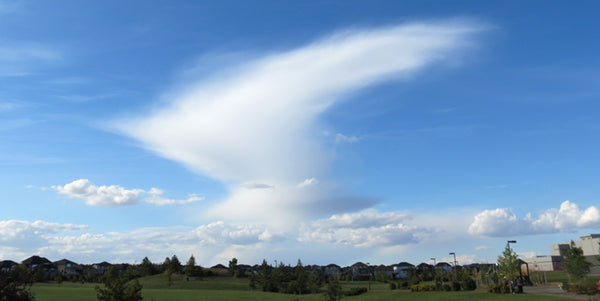
Squall lines are stormy disturbances caused by a cold front meeting warmer air. They are dangerous because they can come on quite quickly, with big winds. Boaters have drowned after being caught in the middle of a large body of water by a squall. You'll know a squall line by the dark clouds and a sudden change in wind direction. These disturbances cause gusty winds and short, torrential downpours.

Red sky at night, paddler's delight?
We all know the saying "red sky at night, sailor's delight, red sky in the morning, sailors take warning". This happens when cloud systems are lit by the rising or setting sun. Weather systems generally move west to east, so the presence of clouds in the east lit by the setting sun in the west means outgoing weather. Incoming cloudy weather is lit by the rising sun in the east.

Having a little knowledge of clouds can help you make safe decisions while on your next paddling trip. Predicting weather changes can help you plan your distance and rest days, figure out how early/late to set up camp, or whether it's safe to short-cut across the middle of a big lake. The more you know, the safer you'll be.


Comments
Leave a comment