Stanley Mission to Sandy Bay Breeding Bird Atlas canoe trip | guest blog
Have you heard of the Saskatchewan Breeding Bird Atlas? It's a project to map the distribution and relative abundance of breeding birds in our province. The idea is to get a long term view of the status of our bird populations, which are good indicators of environmental health.
We loaned some canoes to volunteers this past summer to help with the Atlas. The only way to get into some of the northern areas is to paddle in there, and multiple trips were made into some pretty remote places. Here is an account of one of those trips, and it's one that many canoe trippers have on their bucket list.
Thanks to Ian Cook and the Breeding Bird Atlas folks who helped us share this story.
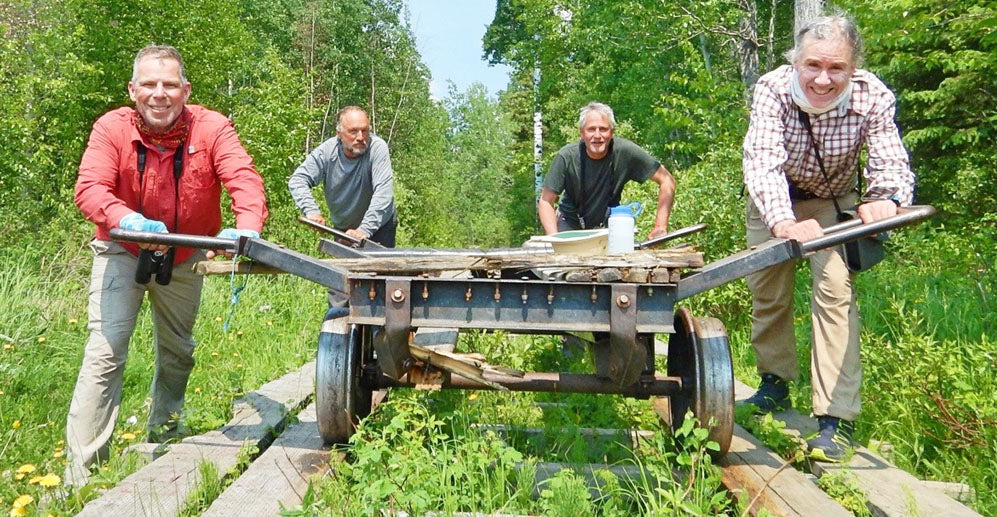
Churchill River - Stanley Mission to Sandy Bay
By Ian Cook (volunteer)
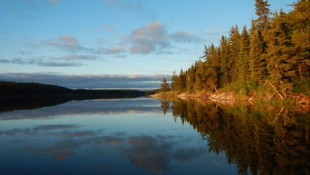
Saskatchewan is a huge, beautiful and diverse province. The farther north one travels, the more rugged the terrain gets, the less populated the land is, and the fewer the roads become. This presents some challenges for atlassing and requires some effort to cover the territory, which is extremely rich in breeding birds.
To that end, four long-time naturalists and canoe trippers from Ontario set out June 15 to paddle the Churchill River from Stanley Mission north of La Ronge east to near Sandy Bay, approaching the Manitoba Border. It was a wet, wild and wonderful experience. The Churchill is, of course, one of the most important rivers in all of Canada historically. Our indigenous brethren have used it for millennia as a travel corridor and their presence is felt with every paddle stroke. Voyageurs traveled upstream on it for 200 years to access the furs trapped far to the northwest. And virtually all the great explorers of Canada’s far north -- Thompson, Simpson, Frobisher -- passed over its portages.
Today, the roadless section which we descended seems to be used hardly at all. From day 2 until our last day we saw only one group of native fishermen, and many of the portages and campsites were overgrown or absent. This made the trip more challenging but at the same time wonderfully remote.

The Churchill is really a series of wide lakes linked by stretches of very big river with strong, unpredictable current, big rapids and a few impressive falls. We were obliged to run quite a number of the rapids as portaging was not an option. This was exciting for some of us and terrifying for others! But with careful scouting and planning we descended all without mishap.
For the most part the weather was good and the flies surprisingly benign. We had 3 days of foul weather in the middle of the trip with a cold steady rain and fairly strong headwinds. We were soaked paddling but remained dry in our tents. The wet rocks made for some treacherous portages and landings.
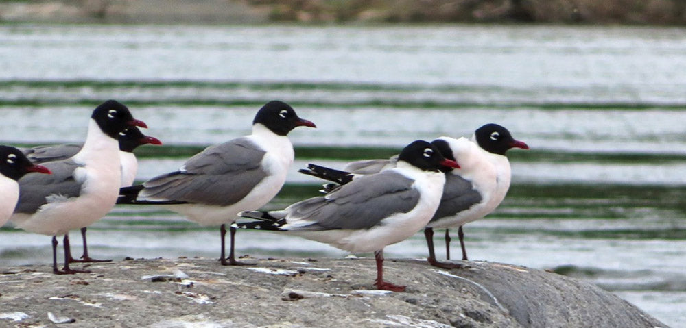
Our days consisted of point counting in the morning and general atlassing all day as we paddled to our next campsite. To that end we typically awoke around 3:30 am as sunrise was about 4:15. After a quick coffee we divided up to cover as much ground as possible, rendezvousing at around 9 back at the campsite to eat and break camp. We would then paddle till late afternoon, recording all birds seen and heard en route. By the time we found a campsite, set up camp, cooked dinner, and documented our findings, we usually fell into the tent exhausted at around 8:30 or 9 pm.
By far the most challenging aspect of the trip was accessing and covering the three priority squares that occurred along the river. Their coordinates for point-counting are pre-determined, and accessing these points through almost impenetrable bush tested our sanity at times! But we were often rewarded with birdy surprises and delights.
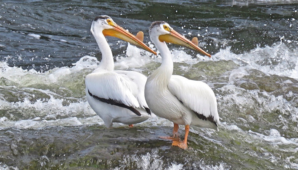
The birding was wonderful. American White Pelicans and Bald Eagles were our constant companions. A small wetland rewarded us with a colony of Sedge Wrens. We found a number of Red-necked Grebe nests, and several Common Tern colonies. The river was a waterfowl factory, and we saw hundreds of ducklings. We were attacked by a pair of Goshawks defending their nest. Cape May and Bay-breasted Warblers were surprisingly common. On the last day of point counting two of us were rewarded with a lovely LeConte’s Sparrow. Perhaps our rarest find was hearing an Eastern Whip-poor-will calling one night, one of the most north-westerly individuals recorded.
In all we travelled about 200 km in 12 days, collecting data from about 24 atlas squares, and completed 3 priority squares. Remote atlassing is not easy, but is rewarding when accomplished with good friends who share one’s passion for raw wilderness and birds.
Our trip was supported by the amazing staff with the Saskatchewan Breeding Bird Atlas, in particular Janine, who patiently answered dozens of e-mails as we prepared, outfitted us with food packs, picked us up at the airport and drove us to Stanley Mission. And LeeAnn, who drove the 8 hours to Sandy Bay, picked us up and returned us to Saskatoon. Thanks to Eb’s Source for Adventure who generously loaned us sturdy canoes for the expedition.
The Churchill River trip was completed from June 15th to 28th, 2019 for the Saskatchewan Breeding Bird Atlas by Ian Cook, Chris Evans, Mike Ferguson and Alex Mills.

Note from the Eb's folks: the Atlas is always looking for experienced canoeists. If you're interested in volunteering for the Atlas, you can find more information on their website.


Leave a comment