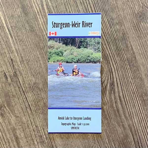
Go Trekker Map Sturgeon-Weir River 4 (synthetic)
Remember photocopying topo maps and taping them together to cover your route? Go Trekker Canoe and Kayak maps have done the work for you by condensing popular routes onto a single map – even showing features relevant to paddlers such as portages, forest fire burns and camping spots. They are made with input from locals who know the area well.
This map covers the Sturgeon-Weir River from Amisk Lake to Sturgeon Landing.
Map scale: 1:50,000 synthetic map material
